Well, spring will be here soon, so it’s happened in the past years. However, Mother Nature has decided to delay spring by giving us more snow and more cold weather. By this time last year I had geese in my pond! Not this year, everything still is frozen solid and there’s no thaw in the forecast.
I also know that West Glacier, the Park Head Quarters, had record high precipitation this winter. If things keep up like this, you’ll be luck to get over Logan Pass by June 15th. To make matters worse, a large portion of the upper road slid-out last fall and they have not completely fixed it yet.
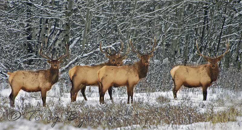
Now, don’t let this keep you from coming. Things could change very quickly and there always are other great places to photograph the Park, it’s not all about Logan Pass (and it’s nice to be there when there are relatively few people). I’ll keep people updated as things change. But for now, I’m still in Alberta photographing wildlife!
Take care,
Forecast:
periods of snow are expected over the rocky mountain front today. the snow will become more widespread...and will be heavy at times this evening through thursday morning. by thursday afternoon new snow accumulations of 1 to 2 inches are possible at lower elevations...with 6 to 10 inches likely above 5000 feet.
additionally...strong west winds gusting over 55 mph will cause significant blowing and drifting of snow...and frequently reduce visibilities below one quarter of a mile.
a winter storm warning means significant snow accumulations...limited visibility...and strong winds are expected or occurring. these conditions will make outdoor activities and travel very hazardous or impossible.


